Kayaks, Canoes & SUP
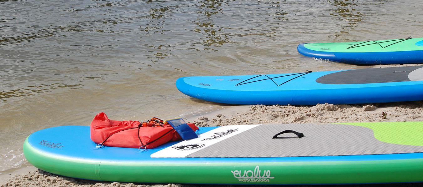
Kayaks, Canoes & SUP i
Launches
Boat Launching Sites:
White Horse Park Launch
Lagoon launch
Parking available
Two boat ramps
Walking trails
Portable restroom
Access to St. Martin River and canals
Near White Horse Park Pavilion,
basketball courts, walking trails, and skate park.
Swim and Racquet Club Launch
Parking available
Next to Swim & Racquet Club Pool
Access to St. Martin River & canals
Mumford's Landing Launch
Limited parking available, no trailer parking
Double boat ramp for unloading
Located next to Mumford's Landing Pool
Small Craft Launch Sites:
Pintail Park Launch
Limited parking available, no tying-up of boats at the pier
Floating dock and crabbing pier
Next to Pintail Park
Picnic tables, benches, and portalets
Boston Drive Launch
Parking on street only
Access to Manklin Creek
North and South Gate Ponds and Off Shore Lake
Gas-powered engines prohibited
Paddle, sail, and electric motors only
Water Trails
The Water Trails of Ocean Pines
With over 10 miles of water trails that are all accessible from our community, Ocean Pines is a paddler’s dream! From the quiet waters and wildlife-viewing opportunities of Manklin Creek, to the open waters and beautiful beaches of the Isle of Wight Bay, Ocean Pines has something for every skill and interest level. Paddle to the Yacht Club for lunch, pack a picnic for White Horse Park, go birding through a salt marsh creek, or cross the St. Martin River to enjoy the beaches of Worcester County’s Isle of Wight Nature Park!When paddling Ocean Pines water trails, always wear a PFD/life jacket. The U.S. Coast Guard requires that all paddlers have a life jacket and a whistle on board. A water bottle, sun protection, and a means of communication (cell phone or VHF radio) are also recommended.
Interactive Water Trails Map
Click each trail for additional information about skill level, photos, wildlife viewing opportunities, or amenities nearby.Click each icon for more information on launch locations, parking, potential hazards, photos, and points of interest along the trails.
Green: Great for beginners! Calm waters with little boat traffic.
Yellow: Intermediate level. Wind, distance, and boat traffic could be a challenge.
Red: Advanced level, for experienced paddlers only. The Isle of Wight Bay can have quite a bit of boat traffic, and the open waters can get quite choppy.
Note: If map does not display correctly, or to open in your phone's Google Maps app, click here.
